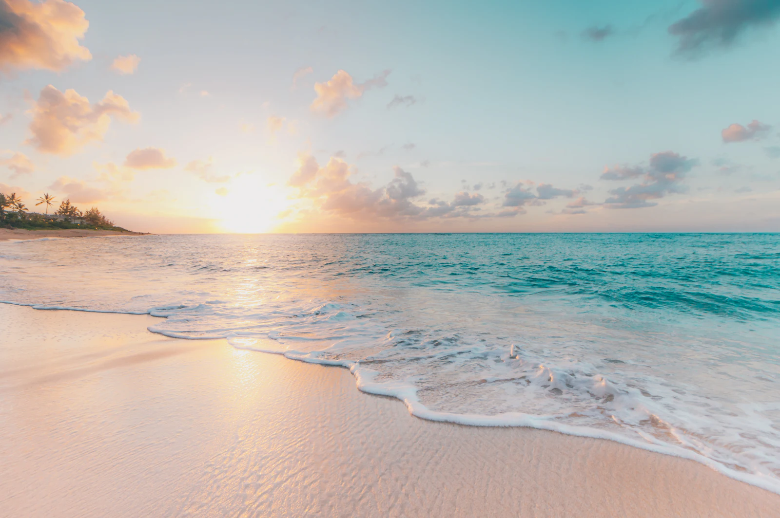
The first thing you notice on Tasmania's east coast is the colour. Granite boulders streaked with bright orange lichen. Water so clear it looks green in the shallows and deep blue a few metres out. White sand that squeaks underfoot. It can look almost unreal on a sunny day, the kind of place you assume has been filtered until you're standing in it.
The second thing you notice, if you let yourself, is how much better it is when you slow down. The Great Eastern Drive, which runs roughly from Orford in the south to the Bay of Fires in the north, can technically be driven in a day. It shouldn't be. This is a stretch of coast that rewards lingering.
Maria Island: start with the wombats

A short ferry ride from Triabunna takes you to Maria Island, a national park with no cars, no shops and a lot of wombats. The island has a layered history, from its Aboriginal custodians to a convict settlement at Darlington that is now part of the Australian Convict Sites World Heritage listing, and later industrial ventures that came and went.
Today it's a place to walk and cycle. The Painted Cliffs, sandstone carved into swirling patterns by wind and water, are an easy walk from the ferry and best seen at low tide. More ambitious walkers can tackle Bishop and Clerk for big views back over the mainland. But many visitors' favourite memory is simply sitting on the grass at Darlington as wombats graze a few metres away, completely uninterested in the people watching them.
Pack food and water before you go, and take your rubbish home. There are basic camping and bunkhouse options if you want to stay overnight, which is when the island is at its quietest and the wildlife at its most active.
Freycinet: beyond the lookout

Freycinet National Park is the east coast's headline act, and Wineglass Bay its most famous view. The walk to the lookout is short but steep, and it can be busy in the middle of the day. Go early, or late in the afternoon, and you'll share it with far fewer people.
If you have the time and legs, continue down to the beach itself. Very few people make the descent compared with those who stop at the lookout, and standing on the sand looking back up at the granite peaks of the Hazards is a very different experience from the postcard view.
Longer walks, including the Freycinet Peninsula Circuit, take in Hazards Beach, Cooks Beach and quiet inlets that feel properly remote. Even a short paddle in a kayak on Coles Bay gives a sense of scale that's hard to get from the shore. You'll need a Tasmanian national parks pass, which is easy to buy online and well worth it if you're visiting several parks.
"This is a stretch of coast that rewards lingering."

The small towns in between
Swansea, on the shores of Great Oyster Bay, is a good base with views across the water to Freycinet. Further north, Bicheno is a working fishing town known for its blowhole and for the little penguins that come ashore at dusk. Guided penguin tours are the most respectful way to see them, keeping visitors at a distance and lights to a minimum.
Along the way there are wineries, oyster farms, berry farms and roadside stalls. Tasmanian produce is a major draw, and the east coast has some of the best of it. Fresh oysters eaten a few hundred metres from where they were grown are hard to beat. Many cellar doors and farm gates keep shorter hours in the cooler months, so check before you set off.
Bay of Fires: the orange coast

At the northern end of the drive, the Bay of Fires stretches from Binalong Bay towards Eddystone Point. The name comes from the explorer Tobias Furneaux, who in 1773 saw the fires of Aboriginal people burning along the shore. Today it's best known for those orange lichen-covered boulders and a string of beaches that can feel empty even in summer.
There's no single attraction here, which is exactly the point. Walk from one cove to the next, swim if you're brave enough for the water temperature, and let the afternoon go. Binalong Bay is the easiest place to start, but some of the most memorable spots are a short walk from the car parks further up the coast.
Travelling in the shoulder season
Summer is the obvious time to visit, but spring and autumn have real advantages. Accommodation is easier to find and often cheaper, roads and walking tracks are quieter, and the light is softer for photography. The trade-off is weather. Tasmania's east coast is drier and sunnier than much of the state, but conditions can change quickly. Pack layers, a rain jacket and a warm hat, even if the forecast looks kind.

Distances look short on the map, but roads wind, and wildlife is common at dawn and dusk. Driving at night is best avoided where you can, both for your safety and for the animals. Allow far more time than your navigation app suggests.
Respect the country you are travelling through. The east coast has a deep Aboriginal history that long predates European names on the map, and many sites hold cultural significance for Tasmanian Aboriginal people. Stay on marked tracks, leave rocks, shells and plants where they are, and take every scrap of rubbish with you. Fires are restricted in many parks, and fuel stoves are the safer option for anyone camping. Small choices like these are what keep places like Freycinet and the Bay of Fires looking the way they do.
How to plan it
If you can, give the east coast at least four or five days. Start with a night or two near Maria Island, spend a couple of days around Freycinet, and finish with a slow stretch near the Bay of Fires. Fly into Hobart and out of Launceston, or the other way around, to avoid backtracking.
Most of all, leave space in the plan. Some of the best moments on this coast aren't on any list: a pod of dolphins off a beach you stopped at on a whim, a wombat on a walking track, a long lunch that turns into an afternoon. Those are the things you remember.